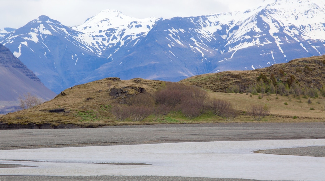
Amid misty glaciers and snow-capped mountains on Iceland’s southern coast, Fagurholsmyri is a lovely agricultural county. It features mesmerizing glacial lagoons, an ice cave and the country’s highest mountain. Mingle with friendly residents, some of whom will give you tours of their farms and the pretty countryside.
Explore the intriguing terrain. Travel south to Ingolfshofdi Cape. Its headland has a nature reserve with scenic views of the ocean and many seabirds, such as puffins and skuas.
Hike to Iceland’s highest point on Hvannadalshnúkur, which reaches an elevation of 6,920 feet (2,110 meters). This difficult climb passes through crevasses and icy rock formations, so beginner climbers should find a guide from one of the region’s tour operators. The trip to the peak and back takes 12 to 15 hours. From the summit, enjoy stunning views of glaciers, rivers and much of Iceland’s natural beauty.
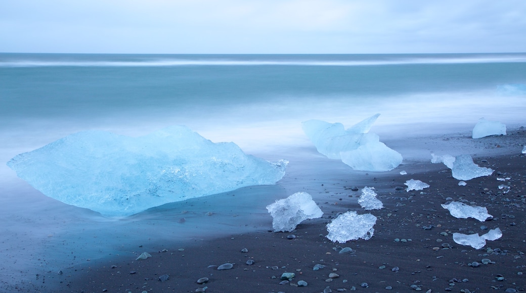
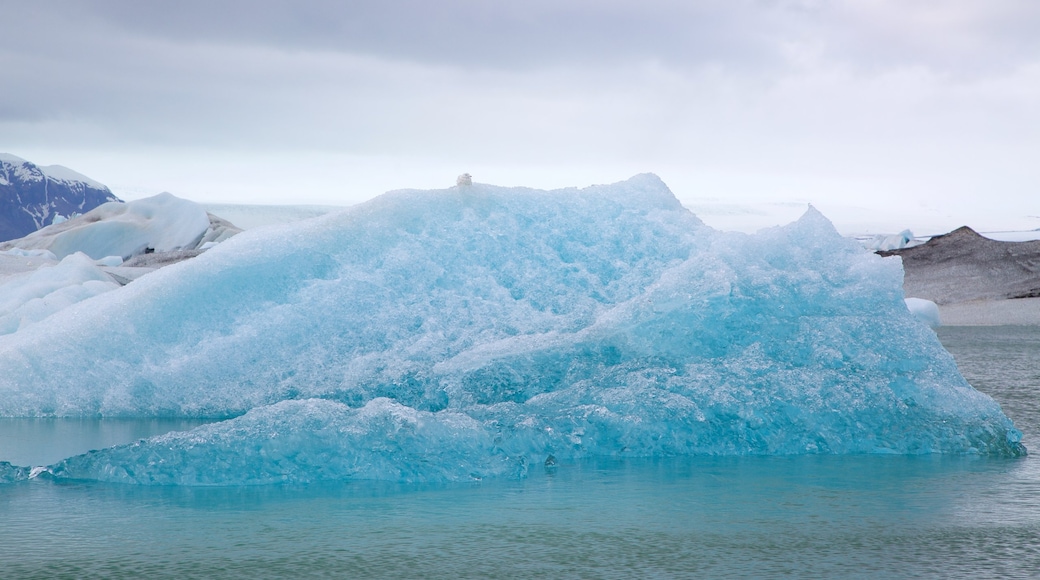
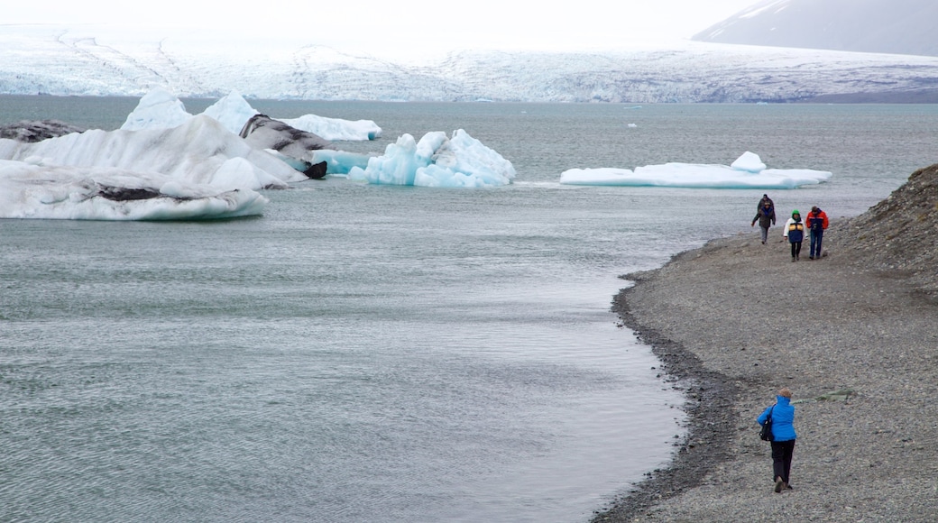
Head east to the Jokulsarlon Lagoon, a large lake populated by glimmering icebergs. Tour operators offer small boat journeys and amphibious vehicle rides on the water. Stroll along the black beach at the lake’s mouth to see stranded icebergs melting on their voyage to the ocean. Nearby is a smaller glacial lake, Fjallsárlón, which has a looming backdrop of the Öræfajökull Volcano. Its lava flow decimated the region in the 14th and 18th centuries.
Try an unforgettable ice cave tour, beginning at the larger of two lagoons. Trek through a tunnel network to see the blue ice and marvelous ice formations.
Rain and snow are likely from October to February, although the weather is not as cold as you might expect. The region is more crowded in summer, which is fairly warm with sunlight through much of the night.
The county has a small airstrip that helped connect the community with the rest of the country in the early 20th century.
See ice in many forms at Fagurholsmyri, with its glacial lakes, white mountains and subterranean caves.


