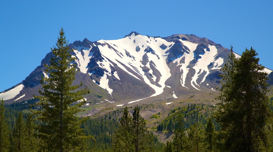
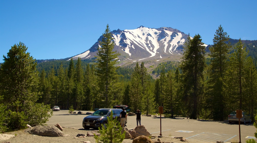
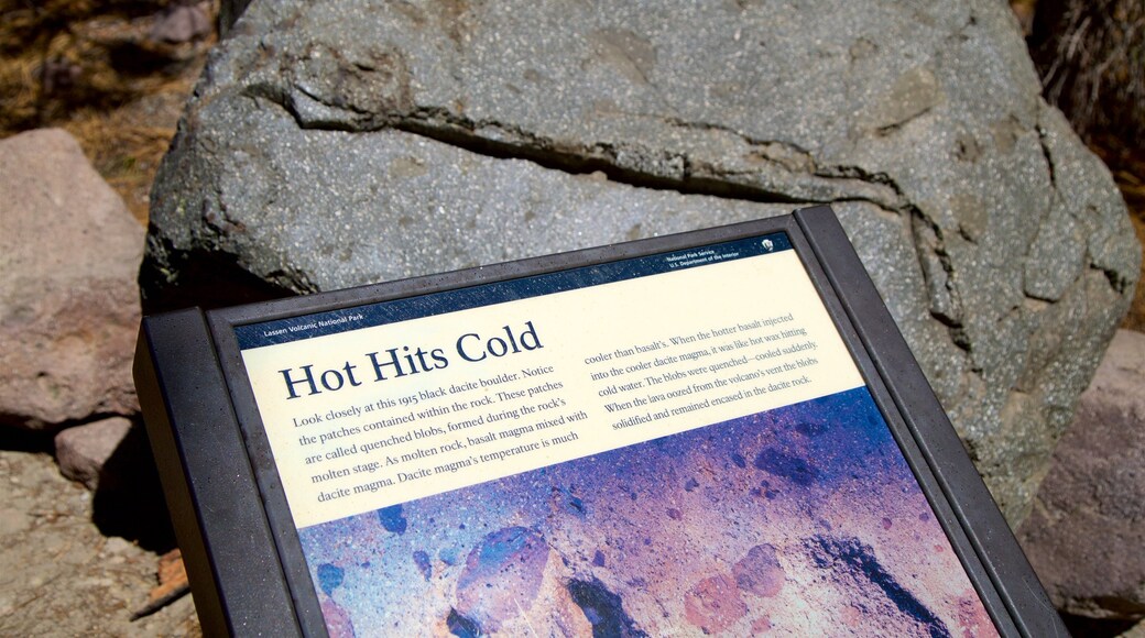
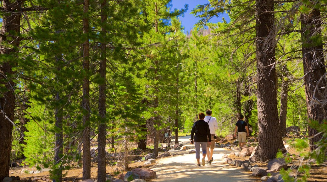
Devastated Area is a part of Lassen Volcanic National Park, flanked by some of its freshest rocks, having been formed in a volcanic eruption in 1915. The namesake interpretive trail runs through the heart of the dense forest at the foot of surrounding mountains. Learn about the geological formations and volcanic rocks of the area via signs and audio displays.
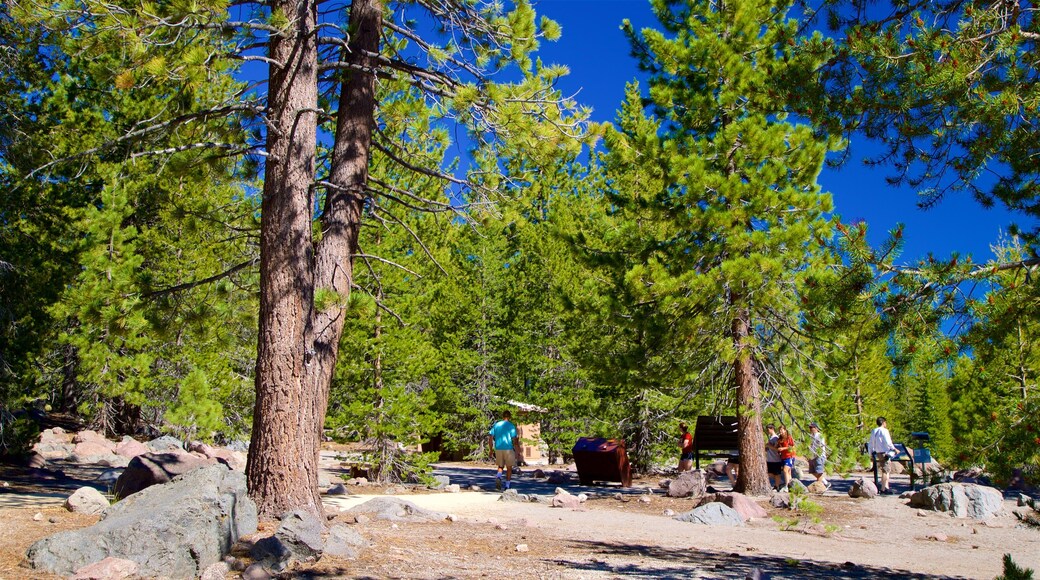
Bring snacks and drinks for a picnic in the woods and enjoy the tranquility in this fairly remote spot. Push the buttons on the plaques for an audio description of the ecosystems and natural history of the park. You can also read the displays for the same information. Learn about the day the mountain erupted and dispersed rocks across this valley.
Walk along the 0.5-mile (0.8-kilometer) looped path and gaze up at the openings in the forest to spot soaring birds of prey. Decorating the forest floor are enormous boulders spewed from the 1915 eruption. Near the highway, get a closer look at the iconic Hot Rock that was launched a great distance and is buried halfway in the ground.
For an alternative vista, hike up the trail that wraps around nearby Lassen Peak. From here, view Devastated Area from above and imagine the full effect of the eruption.
Note that smoking and dogs are not permitted on the trail. The path is fairly flat and simple, making it ideal for the entire family, including those in wheelchairs. Use the picnic tables that are available at the start of the circuit.
Devastated Area is in the central part of Lassen Volcanic National Park, north of Mill Creek. Drive to the beginning of the loop and leave your car in the parking area. While in this part of the park, stop at other nearby landmarks such as Summit Lake, Dersch Meadows and Hat Creek.
